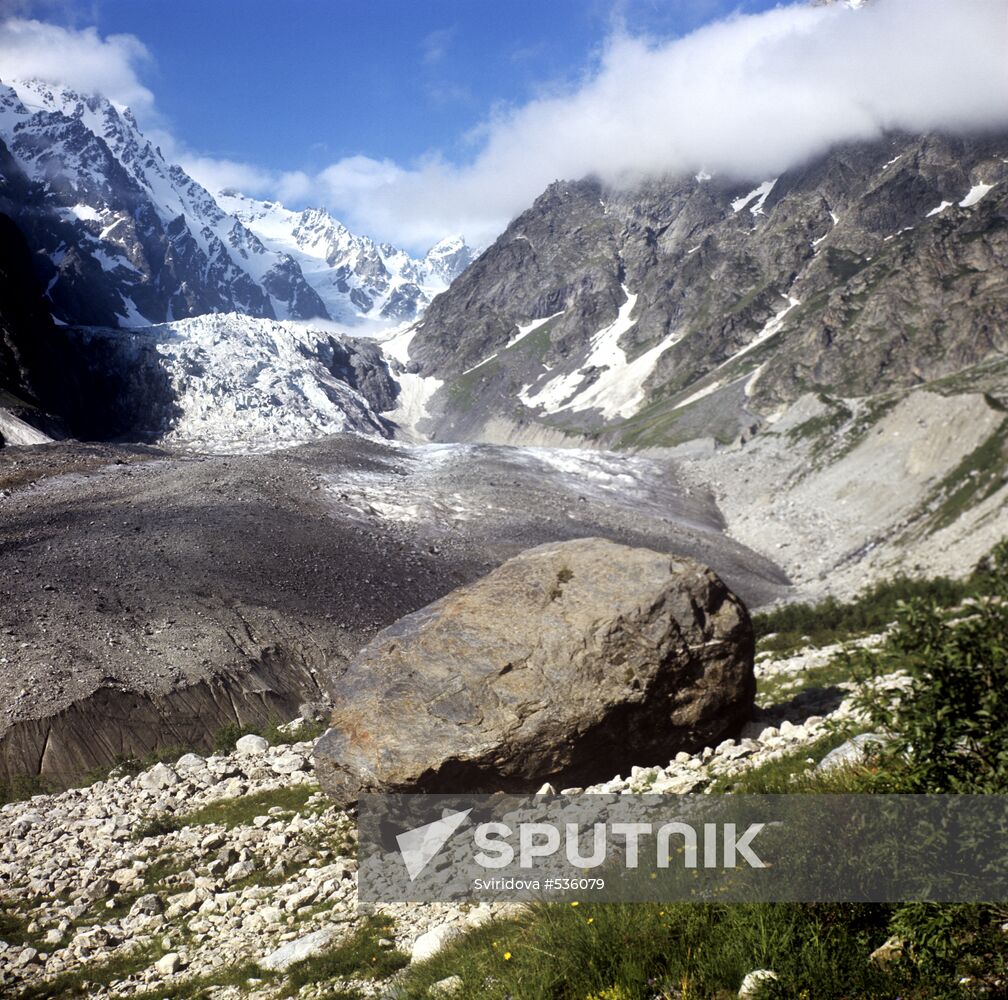
The Lednik (Glacier) Tseya, located at the northern end of the Greater Caucasus, begins from the firn fields between the Uilpata and Aidakhokh mountain peaks. Length, about 9 km; area, 9.8 sq.km. Several icefalls. The glacier gives rise to the Tseidon River. North Ossetia. 1972.
- Categories: Environmental Issues
- Location: Republic of Northern Ossetia-Alania, Russia
- Event date: 01.06.1972
- Date published: 22.12.2009
- Author: Sviridova
- Credit: Sputnik
- Source: Sputnik
- Original: D72-3134, 6x6 slide
- Media: JPEG, 3562x3532px, 5.5Mb